Drone Processing
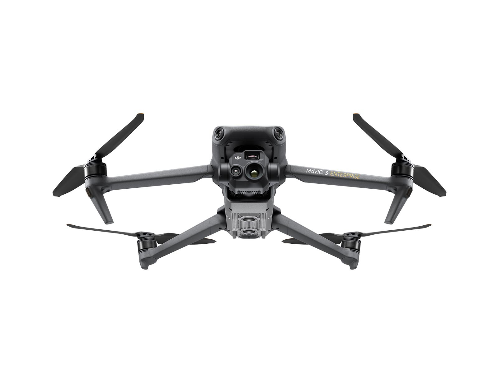
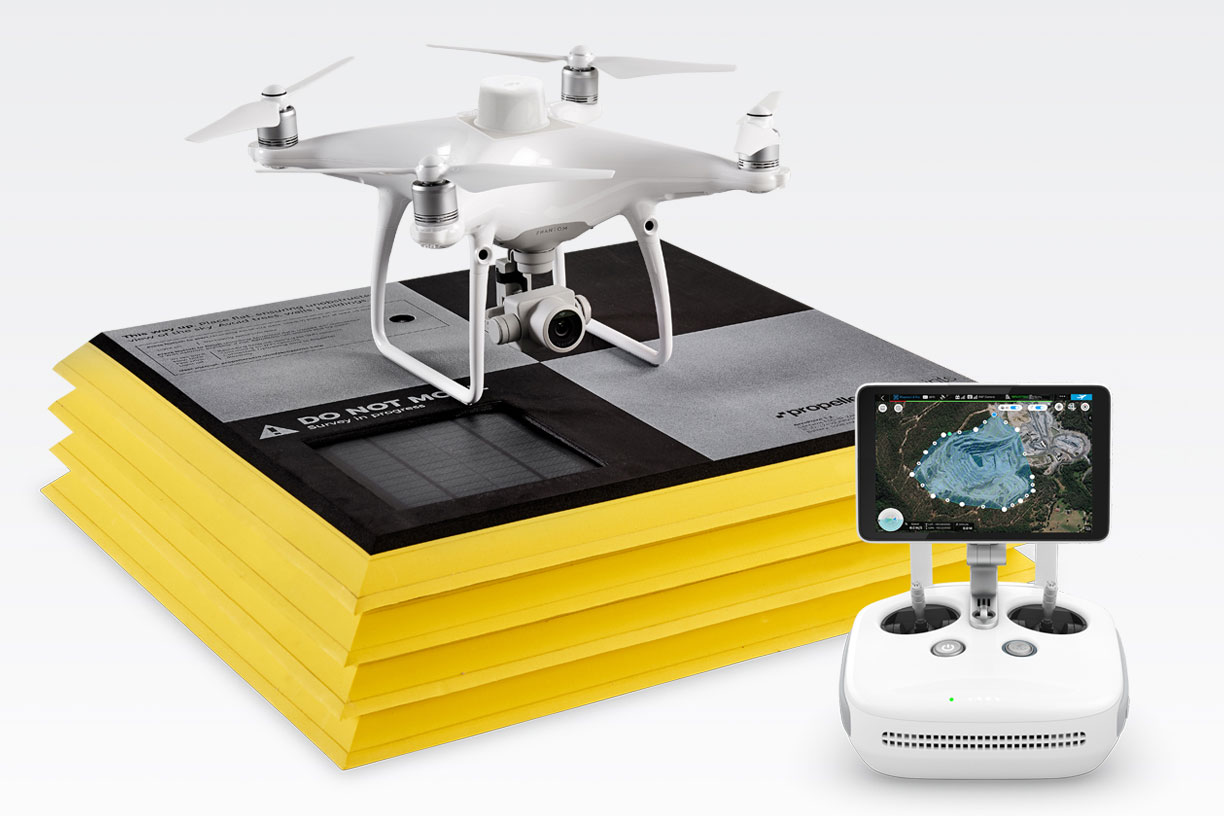
Surveying is critical to providing civil engineers, land surveyors, and construction professionals with accurate details regarding a job site’s topography, natural elements, and existing structures. These locations often vary in size and environment types, creating potential challenges when using traditional methods. These concerns include tight deadlines, harsh terrains, challenging weather and inaccessible locations. Surveying experts can instead leverage the speed and performance of drones for surveying and mapping applications.
At SITECH Horizon, we offer advanced drone equipment and intuitive software applications to speed up your workflow while obtaining clear and accurate information about your site. We’re a proud distributor of premium tools and technologies to revolutionize how you approach your projects.
Have you worked with Sitech Horizon in the past? Leave us a review!


